


Close-up: U.S.A.: The North Central States Map (March 1974) by National Geographic Society (1974)
Close-up: U.S.A.: The North Central States Map (March 1974) by National Geographic Society (1974)
Couldn't load pickup availability
Explore America's heartland through a vintage folding map
Vintage Good Condition - Fold-out map with rubbed and age-toned outer panels, scattered spots, worn folds and creased corners.Dated March 1974.
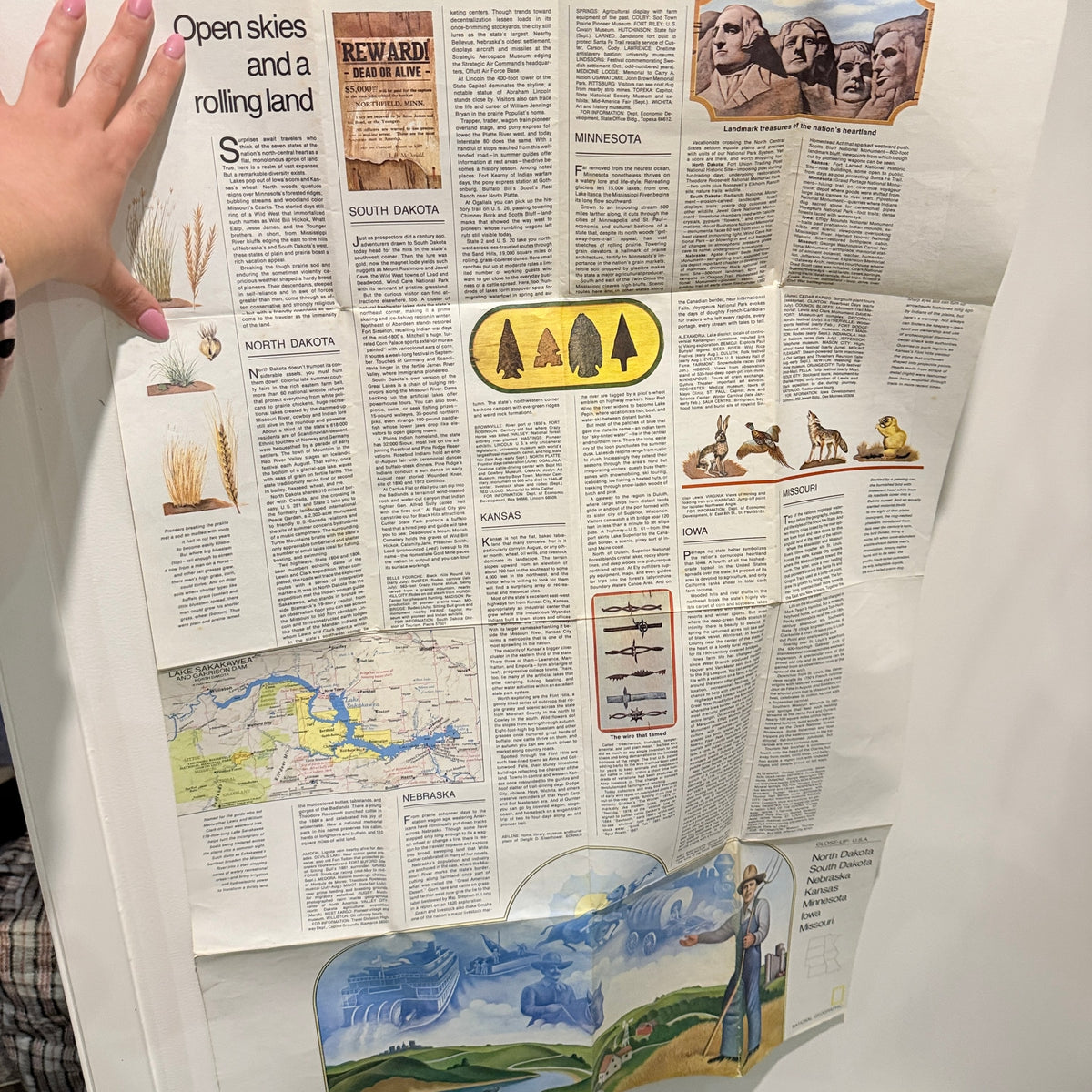
Produced by the National Geographic Society's Cartographic Division in March 1974, this folding map explores the North Central States of the United States. North Dakota, South Dakota, Nebraska, Kansas, Minnesota, Iowa and Missouri form its principal coverage, with detailed mapping showing their geographical relationship, settlements and transport routes. The reverse expands the regional picture through illustrated accounts of the states, their landscapes and aspects of their history, under the theme of open skies and rolling land. Combining cartography with concise background reading, the sheet offers more than a simple outline of state boundaries. As a publication of its period, it provides an engaging historical view of the American heartland for map enthusiasts, collectors and readers interested in regional geography.
Shipping Information
Shipping Information
Orders dispatched within 24 hours. Standard delivery 3–5 business days. Express delivery available at checkout. View full shipping policy →
Returns & Warranty
Returns & Warranty
30-day returns accepted on all items in original condition. Change-of-mind returns welcome. Sale items excluded. View full returns policy →
FAQ & Support
FAQ & Support
Have a question? Browse our FAQ page or contact our team for help.


Customers are saying

- Choosing a selection results in a full page refresh.
- Opens in a new window.